Click project for details
Click project for details
Development of conceptual and subsequent numerical model of the Svartsengi, Eldvörp and Reykjanes geothermal reservoirs. Utilization of numerical model as resource management tool for resource capacity assessment and sustainable development strategies. Annual analysis of reservoir monitoring data.
|
Þróun á hugmyndalíkani og tilsvarandi reiknilíkani af jarðhitasvæðunum í Svartsengi, Eldvörpum og á Reykjanesi. Reiknilíkaninu hefur verið beitt til að hjálpa til við skipulagningu rekstrar á jarðhitasvæðunum og mati á afkastagetu þeirra bæði með tilliti til nýtingar- og sjálfbærnisjónarmiða. Þá hefur verið framkvæmd árleg greining á því hvernig vinnslan hefur haft áhrif á ástand jarðhitakerfisins.
" ["image"]=> string(60) "images/resized/project_shots/geothermal1_blaalonid21340v.jpg" } [4]=> object(stdClass)#182 (10) { ["id"]=> string(1) "4" ["ordering"]=> string(1) "2" ["state"]=> string(1) "1" ["created_by"]=> string(3) "134" ["modified_by"]=> string(3) "134" ["showcase"]=> string(1) "1" ["title"]=> string(62) "Karahnjukar Hydroelectric Project, Iceland|Kárahnjúkavirkjun" ["client"]=> string(25) "Landsvirkjun|Landsvirkjun" ["description"]=> string(379) "Modeling inflow to primary reservoirs, producing long-term (55 years) inflow series with historic weather and weather input adjusted for climate change.
|
Líkangerð á innrennsli til lóna, langtíma innrennslisraðir (55 ár) með sögulegu veðri, og breyttu til hlýrra loftslags.
" ["image"]=> string(58) "images/resized/project_shots/2560px-Kárahnjúkur_06.jpg" } [7]=> object(stdClass)#180 (10) { ["id"]=> string(1) "7" ["ordering"]=> string(1) "3" ["state"]=> string(1) "1" ["created_by"]=> string(3) "134" ["modified_by"]=> string(3) "134" ["showcase"]=> string(1) "1" ["title"]=> string(106) "Watershed management of Greater Reykjavik Area, Iceland|Stjórnun vatnsauðlinda á höfuðborgarsvæðinu" ["client"]=> string(178) "Reykjavík Energy, Association of municipalities in the Capital area, and other various clients|Orkuveita Reykjavíkur, Samtök sveitarfélaga á höfuðborgarsvæðinu og fleiri" ["description"]=> string(782) "Development of watershed model of the Greater Reykjavik Area for use as watershed management tool for local water utilities. Model utilized for aquifer capacity assessment, delineation of wellhead protection zones for municipal water supply wells and calculation of transport of geothermal wastewater from Hellisheiði geothermal power plant.
|
Þróun yfirborðs- og grunnvatnslíkans af höfuðborgarsvæðinu fyrir vatnsveitur á svæðinu. Notað við mat á afkastagetu vatnsbóla, afmörkun vatnsverndarsvæða við neysluvatnsholur og reikninga á dreifingu affallsvatns frá jarðvarmavirkjun á Hellisheiði.
" ["image"]=> string(53) "images/resized/project_shots/verkefni_Reykjavik03.jpg" } [5]=> object(stdClass)#179 (10) { ["id"]=> string(1) "5" ["ordering"]=> string(1) "4" ["state"]=> string(1) "1" ["created_by"]=> string(3) "134" ["modified_by"]=> string(3) "134" ["showcase"]=> string(1) "0" ["title"]=> string(97) "Operational forecast system for hydropower reservoirs|Daglegar rennslisspár fyrir virkjunarkerfi" ["client"]=> string(25) "Landsvirkjun|Landsvirkjun" ["description"]=> string(356) "Designing, developing and operating an operational short-term forecast system for hydropower reservoirs based on 1-2 week weather forecasts.
|
Hönnun, þróun og rekstur kerfis sem spáir um rennsli til virkjana 1-2 vikur fram í tímann út frá veðurspám.
" ["image"]=> string(57) "images/resized/project_shots/Burfellsvirkjun_naermynd.jpg" } [6]=> object(stdClass)#82 (10) { ["id"]=> string(1) "6" ["ordering"]=> string(1) "5" ["state"]=> string(1) "1" ["created_by"]=> string(3) "134" ["modified_by"]=> string(3) "134" ["showcase"]=> string(1) "0" ["title"]=> string(84) "South-West Greenland Hydroelectric Project|Vatnsaflsvirkjun á suðvestur Grænlandi" ["client"]=> string(11) "Alcoa|Alcoa" ["description"]=> string(292) "Hydrological modeling for feasibility studies of hydropower production in SW-Greenland.
|
Vatnafræðileg líkangerð fyrir rannsókn á hagkvæmni raforkuframleiðslu á suðvestur-Grænlandi.
" ["image"]=> string(42) "images/resized/project_shots/greenland.jpg" } [17]=> object(stdClass)#81 (10) { ["id"]=> string(2) "17" ["ordering"]=> string(1) "6" ["state"]=> string(1) "1" ["created_by"]=> string(3) "134" ["modified_by"]=> string(3) "516" ["showcase"]=> string(1) "0" ["title"]=> string(91) "Contaminant transport modelling from sewage outlets around Iceland|Skólpútrásir, Ísland" ["client"]=> string(43) "Various municipalities|Ýmis sveitarfélög" ["description"]=> string(362) "Development of estuary models for Faxaflói bay and various fjords in Iceland for modelling transport of effluent wastewater (over 20 projects around Iceland).
|
Þróun straumlíkana fyrir Faxaflóa og fjölda fjarða á Íslandi til að líkja eftir dreifingu skólps (fleiri en 20 verkefni á Íslandi).
" ["image"]=> string(48) "images/resized/project_shots/Reykjavik970401.jpg" } [18]=> object(stdClass)#80 (10) { ["id"]=> string(2) "18" ["ordering"]=> string(1) "7" ["state"]=> string(1) "1" ["created_by"]=> string(3) "134" ["modified_by"]=> string(3) "134" ["showcase"]=> string(1) "0" ["title"]=> string(77) "Industrial emission from Grundartangi, Iceland|Grundartangi, mengunardreifing" ["client"]=> string(40) "Norðurál and Elkem|Norðurál og Elkem" ["description"]=> string(278) "Modelling the dispersion of industrial emssions from Grundartangi industry site.
|
Líkanreikningar á dreifingu útblásturs (SO2 og HF) frá iðjuverum Norðuráls og Elkem á Grundartanga.
Development of a hydrological investigation of the Vatnsmýri area in Reykjavik. Construction of urban runoff and groundwater model for purpose of determining environmental impacts of proposed urban development on the surface water bodies (marshes, streams and ponds) in the area.
|
Þróun umhverfisvöktunar Vatnsmýrarsvæðisins í Reykjavík. Uppsetning afrennslis- og grunnvatnslíkans til að meta umhverfisáhrif fyrirhugaðrar byggðar á vatnafar svæðisins, þ.m.t. mýrarsvæði, læki og tjarnir.
" ["image"]=> string(57) "images/resized/project_shots/Reykjavikurtjorn_holminn.jpg" } [3]=> object(stdClass)#77 (10) { ["id"]=> string(1) "3" ["ordering"]=> string(1) "9" ["state"]=> string(1) "1" ["created_by"]=> string(3) "134" ["modified_by"]=> string(3) "134" ["showcase"]=> string(1) "0" ["title"]=> string(72) "Reykjavík low-temperature fields, Iceland|Lághitasvæði í Reykjavík" ["client"]=> string(40) "Reykjavík Energy|Orkuveita Reykjavíkur" ["description"]=> string(616) "Development of conceptual and subsequent numerical model of the Laugarnes, Elliðaár and Mosfellssveit geothermal reservoirs. Annual analysis of reservoir monitoring data and evaluation of physical and chemical changes in the reservoirs.
|
Þróun hugmyndalíkans og tilsvarandi reiknilíkans af lághitasvæðunum á Laugarnesi, Elliðaám og í Mosfellssveit. Árleg greining á því hvernig vinnsla úr svæðunum hefur áhrif á ástand kerfanna.
" ["image"]=> string(51) "images/resized/project_shots/verkefni_Reykjavik.jpg" } [2]=> object(stdClass)#83 (10) { ["id"]=> string(1) "2" ["ordering"]=> string(2) "10" ["state"]=> string(1) "1" ["created_by"]=> string(3) "134" ["modified_by"]=> string(3) "515" ["showcase"]=> string(1) "0" ["title"]=> string(67) "Olkaria high-temperature field, Kenya|Olkaria háhitasvæði, Kenya" ["client"]=> string(13) "KenGen|KenGen" ["description"]=> string(536) "Data analysis and development of conceptual model and subsequent numerical model. Resource management and sustainable development strategies. Implementation of training program for local staff.
|
Greining gagna og þróun hugmyndalíkans ásamt tilsvarandi reiknilíkani. Beiting reiknilíkans til að hjálpa til við skipulagningu vinnslu með tilliti til nýtingar- og sjálfbærnisjónarmiða. Þá hafa starfsmenn Vatnaskila einnig tekið þátt í þjálfun og kennslu starfsmanna KenGen.
" ["image"]=> string(49) "images/resized/project_shots/verkefni_Olkaria.jpg" } [8]=> object(stdClass)#75 (10) { ["id"]=> string(1) "8" ["ordering"]=> string(2) "11" ["state"]=> string(1) "1" ["created_by"]=> string(3) "134" ["modified_by"]=> string(3) "134" ["showcase"]=> string(1) "0" ["title"]=> string(91) "Watershed management of Reykjanes peninsula, Iceland|Stjórnun vatnsauðlinda á Reykjanesi" ["client"]=> string(15) "HS Orka|HS Orka" ["description"]=> string(647) "Development of watershed model of the Reykjanes peninsula for use as watershed management tool for local water utility. Model utilized for aquifer capacity assessment, estimation of capture zones of municipal water supply wells and calculation of transport of geothermal wastewater from Svartsengi geothermal power plant.
|
Þróun yfirborðs- og grunnvatnslíkans af Reykjanesskaga. Notað við mat á afkastagetu og aðrennslissvæði neysluvatnshola og reikninga á dreifingu affallsvatns frá jarðvarmavirkjun að Svartsengi.
" ["image"]=> string(61) "images/resized/project_shots/2560px-Kleifarvatn01%28js%29.jpg" } [9]=> object(stdClass)#135 (10) { ["id"]=> string(1) "9" ["ordering"]=> string(2) "12" ["state"]=> string(1) "1" ["created_by"]=> string(3) "134" ["modified_by"]=> string(3) "134" ["showcase"]=> string(1) "0" ["title"]=> string(86) "Watershed management of northeast Iceland|Stjórnun vatnsauðlinda á norðausturlandi" ["client"]=> string(47) "National Power Company of Iceland| Landsvirkjun" ["description"]=> string(872) "Development of watershed model of area between Skjálfandafljót and Jökulsá á Fjöllum river basins. Model used as tool in environmental impact studies aimed at protecting environmentally sensitive Lake Mývatn from transport of wastewater from nearby geothermal power plants. Model also used to estimate capture zones of municipal water supply wells and freshwater springs.
|
Þróun yfirborðs- og grunnvatnslíkans af Norðausturlandi. Notað í mati á umhverfisáhrifum með það að markmiði að verja Mývatn við affallsvatni frá nálægum jarðvarmavirkjunum. Einnig notað við mat á aðrennslissvæðum neysluvatnshola og lindasvæða.
" ["image"]=> string(57) "images/resized/project_shots/2880px-Myvatn_Iceland_01.jpg" } [11]=> object(stdClass)#139 (10) { ["id"]=> string(2) "11" ["ordering"]=> string(2) "13" ["state"]=> string(1) "1" ["created_by"]=> string(3) "134" ["modified_by"]=> string(3) "136" ["showcase"]=> string(1) "0" ["title"]=> string(93) "Wind climate modelling at Bolungarvík, Iceland|Bolungarvík, vindafar við snjóflóðagarð" ["client"]=> string(54) "Municipality of Bolungarvík|Bolungarvíkurkaupstaður" ["description"]=> string(696) "Modelling effects of an avalanche protection structure on the wind climate in Bolungarvík. Model results used to optimize mitigation measures, including diversion and shelter wall design, and thus minimize the negative impacts of ambient high winds on residential areas.
|
Líkan til að meta áhrif snjóflóðavarnargarðs á vindafar í Bolungarvík. Líkanniðurstöður notaðar til að finna bestu lausn mótvægisaðgerða og lágmarka neikvæð áhrif aukins vinds á íbúðarsvæðum.
" ["image"]=> string(55) "images/resized/project_shots/verkefni_Bolungarvik03.JPG" } [12]=> object(stdClass)#138 (10) { ["id"]=> string(2) "12" ["ordering"]=> string(2) "14" ["state"]=> string(1) "1" ["created_by"]=> string(3) "134" ["modified_by"]=> string(3) "134" ["showcase"]=> string(1) "0" ["title"]=> string(77) "Flood risk modelling in Markarfljót, Iceland|Hermun flóða í Markarfljóti" ["client"]=> string(153) "Soil Conservation Service of Iceland, The Icelandic Road and Coastal Administration, Rangárþing eystra|Landgræðslan, Vegagerðin, Rangárþing eystra" ["description"]=> string(569) "Development of a hydrodynamical model of Markarfljót river to simulate flooding due to hypothetical subglacial volcanic eruption under Eyjafjallajökull glacier. Model results used as basis for floodwall design.
|
Uppsetning straumfræðilegs líkans af Markarfljóti til að líkja eftir jökulhlaupi við gos undir Eyjafjallajökli. Líkanniðurstöður eru notaðar til grundvallar hönnun á flóðvarnargörðum.
" ["image"]=> string(64) "images/resized/project_shots/Iceland_Magic_%2814788238061%29.jpg" } [13]=> object(stdClass)#137 (10) { ["id"]=> string(2) "13" ["ordering"]=> string(2) "15" ["state"]=> string(1) "1" ["created_by"]=> string(3) "134" ["modified_by"]=> string(3) "134" ["showcase"]=> string(1) "0" ["title"]=> string(102) "Lake circulation and sediment transport in Lake Mývatn, Iceland|Straumar og setflutningur í Mývatni" ["client"]=> string(33) "Kísiliðjan hf.|Kísiliðjan hf." ["description"]=> string(350) "Modelling of lake circulation and sediment transport in Lake Mývatn to determine the effects of diatomite mining from the lake bottom.
|
Líkangerð af straumum og setflutningi í Mývatni til að meta áhrif kísilgúrvinnslu af botni vatnsins.
" ["image"]=> string(75) "images/resized/project_shots/2008-05-21_12_39_34_Iceland-Skútustaðir.jpg" } [14]=> object(stdClass)#183 (10) { ["id"]=> string(2) "14" ["ordering"]=> string(2) "16" ["state"]=> string(1) "1" ["created_by"]=> string(3) "134" ["modified_by"]=> string(3) "134" ["showcase"]=> string(1) "0" ["title"]=> string(82) "Heat transport in River Clyde, Scotland| Varmaflutningur í River Clyde, Skotlandi" ["client"]=> string(81) "Land and Water Resource Consultants Ltd.|Land and Water Resource Consultants Ltd." ["description"]=> string(324) "Modelling of heat transport in River Clyde as part of feasibility study for proposed 10 MW water source heat pump system.
|
Líkan af varmaflutningi í ánni Clyde við Glasgow, sem hluti af hagkvæmniathugun fyrir 10 MW varmadælukerfi.
" ["image"]=> string(57) "images/resized/project_shots/Wfm_bells_bridge_glasgow.jpg" } [15]=> object(stdClass)#184 (10) { ["id"]=> string(2) "15" ["ordering"]=> string(2) "17" ["state"]=> string(1) "1" ["created_by"]=> string(3) "134" ["modified_by"]=> string(3) "134" ["showcase"]=> string(1) "0" ["title"]=> string(123) "Water quality analysis/modelling of Kolgrafafjörður, Iceland|Kolgrafafjörður, greining vatnsgæða og straumlíkangerð" ["client"]=> string(58) "The Icelandic Road and Coastal Administration| Vegagerðin" ["description"]=> string(701) "Water quality and hydrodynamic monitoring program, data analysis, numerical modelling. Goal of project was to analyze the water quality in the fjord and determine whether it was altered by narrowing of the fjord due to bridge construction.
|
Umsjón með vatnsgæða- og sjávarfallamælingum, gagnagreining, líkangerð.Markmiðið var að greina umhverfisaðstæður í firðinum sem gætu haft áhrif á súrefnisbúskap fjarðarins og meta hvort tilkoma vegfyllingarinnar hefði áhrif á þær aðstæður.
" ["image"]=> string(72) "images/resized/project_shots/1600px-Bridge_across_Kolgrafafjörður.jpg" } [16]=> object(stdClass)#185 (10) { ["id"]=> string(2) "16" ["ordering"]=> string(2) "18" ["state"]=> string(1) "1" ["created_by"]=> string(3) "134" ["modified_by"]=> string(3) "134" ["showcase"]=> string(1) "0" ["title"]=> string(97) "Tidal flow modelling in Gufudalssveit, Iceland|Gufudalssveit, straumlíkangerð vegna vegfyllinga" ["client"]=> string(57) "The Icelandic Road and Coastal Administration|Vegagerðin" ["description"]=> string(444) "Modelling tidal flow around proposed bridge structures in Þorskafjörður, Gufufjörður and Djúpafjörður fjords in order to predict changes in tidal flow patterns.
|
Líkangerð vegna fyrirhugaðra vegfyllinga í Gufufirði, Djúpafirði og Þorskafirði til að spá fyrir mögulegar breytingar á sjávarstraumnum.
Predicting traffic pollution from the proposed road construction around the Harpa Concert Hall and Conference Centre in Reykjavík.
|
Útreikningar á umferðarmengun vegna breytinga á gatnakerfi í kringum áætlað Tónlistar- og Ráðstefnuhús í Reykjavík.
" ["image"]=> string(42) "images/resized/project_shots/Harpa2013.jpg" } [20]=> object(stdClass)#187 (10) { ["id"]=> string(2) "20" ["ordering"]=> string(2) "20" ["state"]=> string(1) "1" ["created_by"]=> string(3) "134" ["modified_by"]=> string(3) "134" ["showcase"]=> string(1) "0" ["title"]=> string(103) "Entrainment and transport of dust from Hálslón reservoir, Iceland|Dreifing ryks af bökkum Hálslóns" ["client"]=> string(25) "Landsvirkjun|Landsvirkjun" ["description"]=> string(298) "Simulation of dust entrainment from the dry banks of Hálslón reservoir and transport of dust with wind.
|
Uppblástur á þurrum bökkum Hálslóns að sumri og dreifing ryksins með vindi.
" ["image"]=> string(54) "images/resized/project_shots/KH2007-07-17-3468Wide.JPG" } [21]=> object(stdClass)#188 (10) { ["id"]=> string(2) "21" ["ordering"]=> string(2) "21" ["state"]=> string(1) "1" ["created_by"]=> string(3) "134" ["modified_by"]=> string(3) "134" ["showcase"]=> string(1) "0" ["title"]=> string(113) "Heat transport in shallow aquifer at Mosfellsheiði, Iceland|Hitadreifing í grunnvatnsgeyminum á Mosfellsheiði" ["client"]=> string(40) "Reykjavík Energy|Orkuveita Reykjavíkur" ["description"]=> string(496) "Utilization of existing groundwater model of Greater Reykjavík Area to predict the environmental effects of shallow sub-surface injection of geothermal wastewater from the Nesjavellir Power Plant on the local groundwater aquifer.
|
Beiting fyrirliggjandi grunnvatnslíkans af höfuðborgarsvæðinu til mats á áhrifum grunnförgunar affallsvatns frá Nesjavallavirkjun á grunnvatn.
" ["image"]=> string(50) "images/resized/project_shots/Helgafell_Husfell.JPG" } [22]=> object(stdClass)#189 (10) { ["id"]=> string(2) "22" ["ordering"]=> string(2) "22" ["state"]=> string(1) "1" ["created_by"]=> string(3) "134" ["modified_by"]=> string(3) "134" ["showcase"]=> string(1) "0" ["title"]=> string(106) "Air dispersion modelling at Carrow Works industrial site, England|Loftdreifing frá Carrow Works, Englandi" ["client"]=> string(49) "Britvic Soft Drinks Ltd.|Britvic Soft Drinks Ltd." ["description"]=> string(639) "Air dispersion modelling for a proposed new stack for the main boiler at the Carrow Works industrial site. Modelling results formed the basis of a risk assessment study of NO2 concentration surrounding the site.
|
Loftdreifingarreikningar frá fyrirhuguðum nýjum skorsteini fyrir aðal suðuketill hjá Carrow Works. Niðurstöður dreifingarreikninganna (lögðu grunninn að áhættumati) voru nýttar til grundvallar áhættumats um styrk NO2 í nágrenni Carrow Works.
" ["image"]=> string(57) "images/resized/project_shots/14160449461_c5431f6425_k.jpg" } [23]=> object(stdClass)#190 (10) { ["id"]=> string(2) "23" ["ordering"]=> string(2) "23" ["state"]=> string(1) "1" ["created_by"]=> string(3) "134" ["modified_by"]=> string(3) "516" ["showcase"]=> string(1) "0" ["title"]=> string(145) "Contaminant transport - Sandskeiðslína electric transmission line, Iceland|Dreifingarreikningar vegna áhættumats framkvæmda Sandskeiðslínu" ["client"]=> string(46) "Efla, Landsnet|Efla verkfræðistofa, Landsnet" ["description"]=> string(712) "Utilization of existing groundwater model of Greater Reykjavík Area to predict the transport of hazardous materials in the groundwater aquifer from potential spill sites during construction of Sandskeiðslína transmission line. Modelling results formed the basis of a risk assessment study estimating potential risk to downstream municipal water supply wells.
|
Beiting fyrirliggjandi grunnvatnslíkans af höfuðborgarsvæðinu við mat á dreifingu mengunar með grunnvatnsstraumum frá mögulegum upptakastöðum mengunarslysa. Niðurstöður líkanreikninga lögðu grunninn að áhættumati framkvæmda gagnvart vatnsbólum höfuðborgarsvæðisins.
" ["image"]=> string(47) "images/resized/project_shots/Sandskei%C3%B0.jpg" } }Client: HS Orka
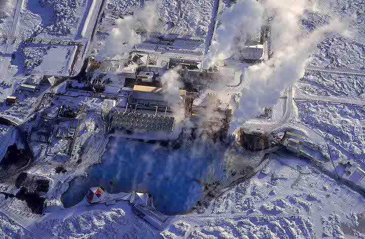
Project Scope:
Development of conceptual and subsequent numerical model of the Svartsengi, Eldvörp and Reykjanes geothermal reservoirs. Utilization of numerical model as resource management tool for resource capacity assessment and sustainable development strategies. Annual analysis of reservoir monitoring data.
Client: Landsvirkjun

Project Scope:
Modeling inflow to primary reservoirs, producing long-term (55 years) inflow series with historic weather and weather input adjusted for climate change.
Client: Reykjavík Energy, Association of municipalities in the Capital area, and other various clients
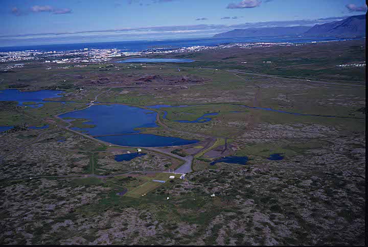
Project Scope:
Development of watershed model of the Greater Reykjavik Area for use as watershed management tool for local water utilities. Model utilized for aquifer capacity assessment, delineation of wellhead protection zones for municipal water supply wells and calculation of transport of geothermal wastewater from Hellisheiði geothermal power plant.
Client: Landsvirkjun
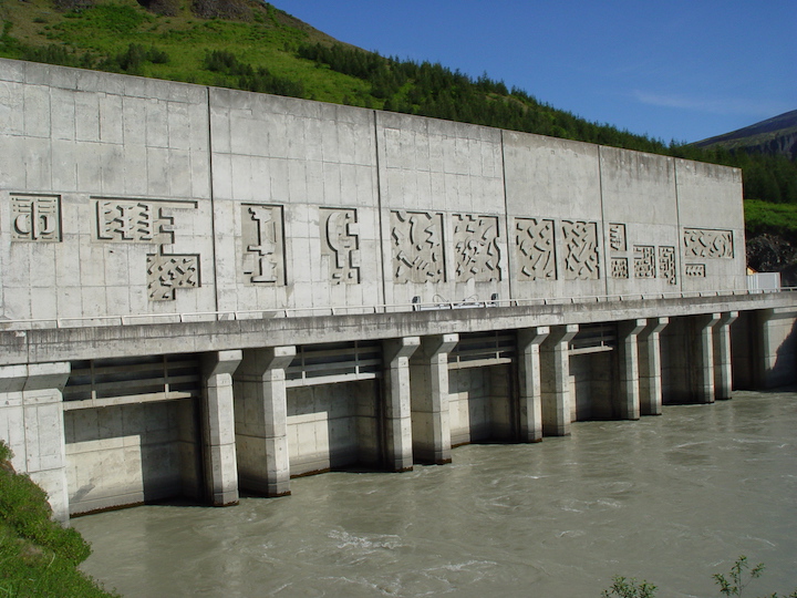
Project Scope:
Designing, developing and operating an operational short-term forecast system for hydropower reservoirs based on 1-2 week weather forecasts.
Client: Alcoa
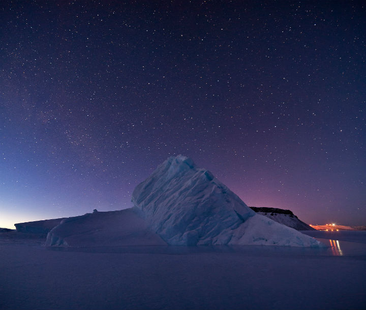
Project Scope:
Hydrological modeling for feasibility studies of hydropower production in SW-Greenland.
Client: Various municipalities
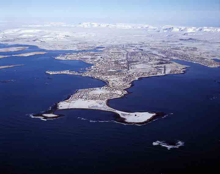
Project Scope:
Development of estuary models for Faxaflói bay and various fjords in Iceland for modelling transport of effluent wastewater (over 20 projects around Iceland).
Client: Norðurál and Elkem
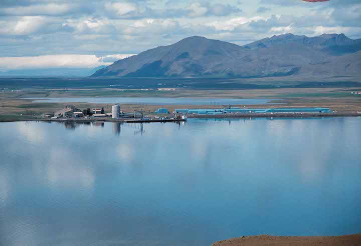
Project Scope:
Modelling the dispersion of industrial emssions from Grundartangi industry site.
Client: City of Reykjavík
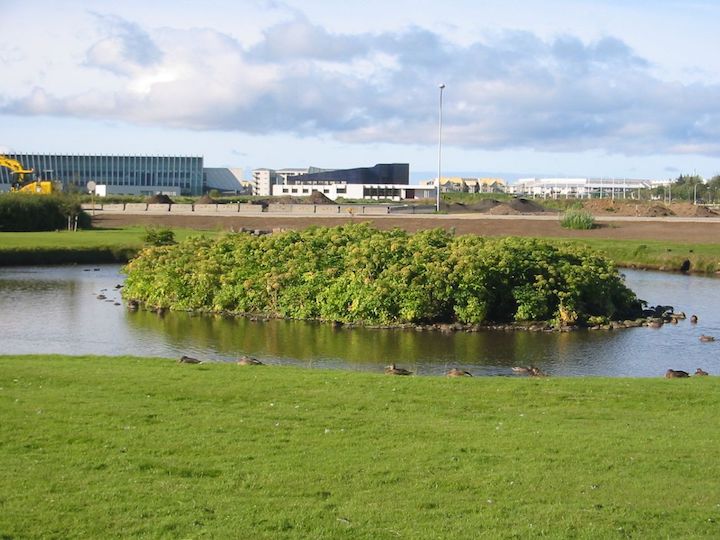
Project Scope:
Development of a hydrological investigation of the Vatnsmýri area in Reykjavik. Construction of urban runoff and groundwater model for purpose of determining environmental impacts of proposed urban development on the surface water bodies (marshes, streams and ponds) in the area.
Client: Reykjavík Energy
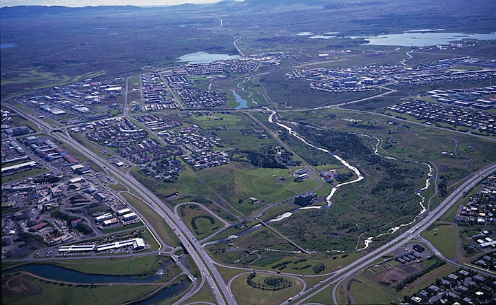
Project Scope:
Development of conceptual and subsequent numerical model of the Laugarnes, Elliðaár and Mosfellssveit geothermal reservoirs. Annual analysis of reservoir monitoring data and evaluation of physical and chemical changes in the reservoirs.
Client: KenGen
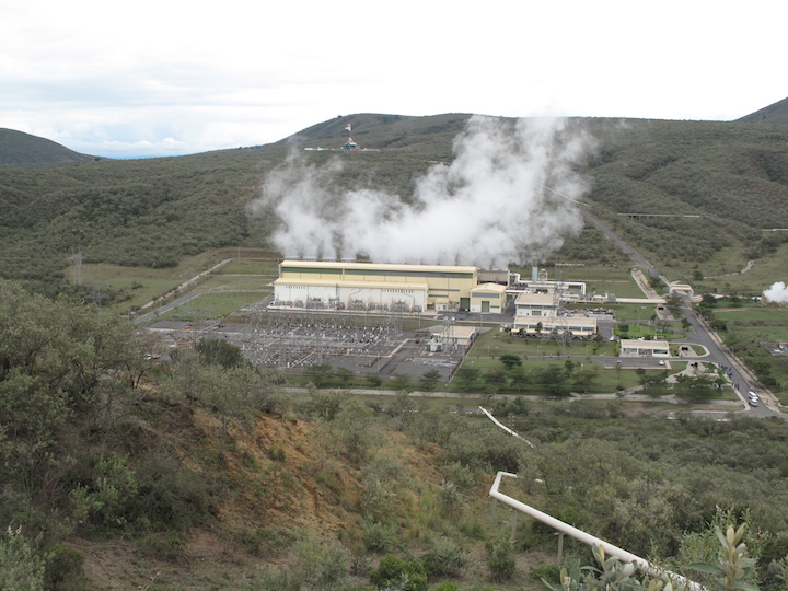
Project Scope:
Data analysis and development of conceptual model and subsequent numerical model. Resource management and sustainable development strategies. Implementation of training program for local staff.
Client: HS Orka
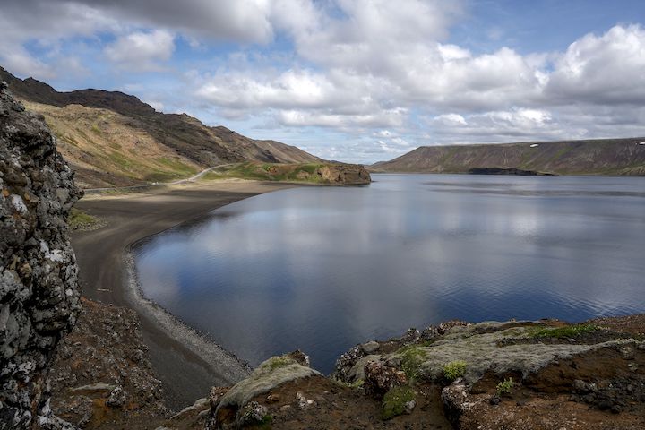
Project Scope:
Development of watershed model of the Reykjanes peninsula for use as watershed management tool for local water utility. Model utilized for aquifer capacity assessment, estimation of capture zones of municipal water supply wells and calculation of transport of geothermal wastewater from Svartsengi geothermal power plant.
Client: National Power Company of Iceland
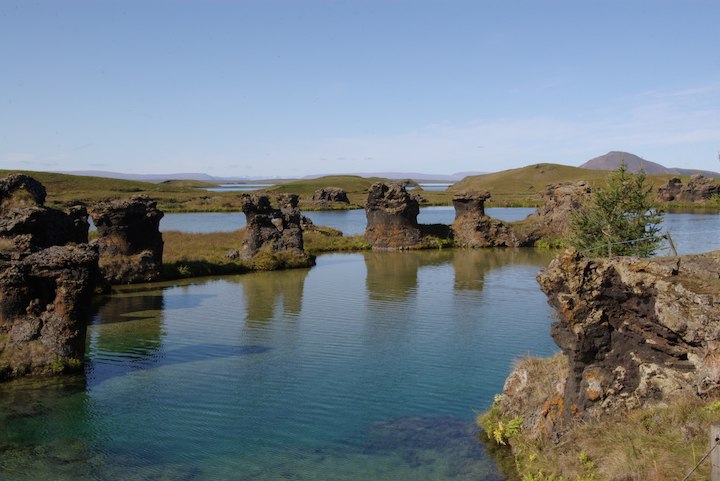
Project Scope:
Development of watershed model of area between Skjálfandafljót and Jökulsá á Fjöllum river basins. Model used as tool in environmental impact studies aimed at protecting environmentally sensitive Lake Mývatn from transport of wastewater from nearby geothermal power plants. Model also used to estimate capture zones of municipal water supply wells and freshwater springs.
Client: Municipality of Bolungarvík
Project Scope:
Modelling effects of an avalanche protection structure on the wind climate in Bolungarvík. Model results used to optimize mitigation measures, including diversion and shelter wall design, and thus minimize the negative impacts of ambient high winds on residential areas.
Client: Soil Conservation Service of Iceland, The Icelandic Road and Coastal Administration, Rangárþing eystra
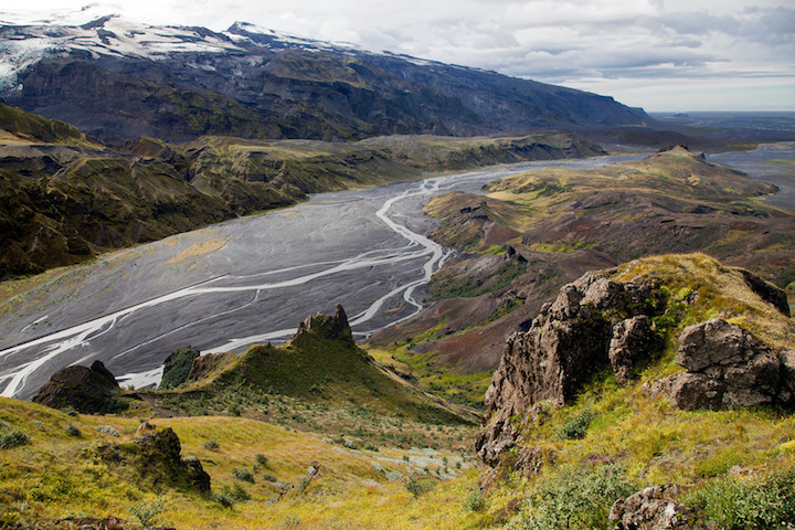
Project Scope:
Development of a hydrodynamical model of Markarfljót river to simulate flooding due to hypothetical subglacial volcanic eruption under Eyjafjallajökull glacier. Model results used as basis for floodwall design.
Client: Kísiliðjan hf.

Project Scope:
Modelling of lake circulation and sediment transport in Lake Mývatn to determine the effects of diatomite mining from the lake bottom.
Client: Land and Water Resource Consultants Ltd.
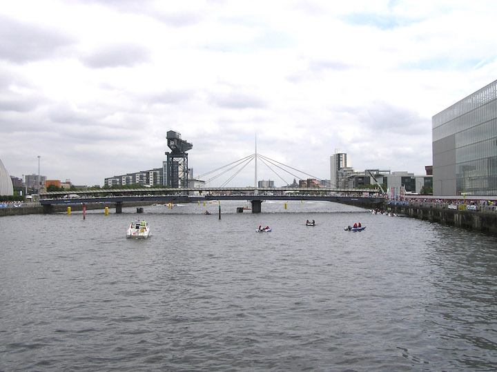
Project Scope:
Modelling of heat transport in River Clyde as part of feasibility study for proposed 10 MW water source heat pump system.
Client: The Icelandic Road and Coastal Administration

Project Scope:
Water quality and hydrodynamic monitoring program, data analysis, numerical modelling. Goal of project was to analyze the water quality in the fjord and determine whether it was altered by narrowing of the fjord due to bridge construction.
Client: The Icelandic Road and Coastal Administration
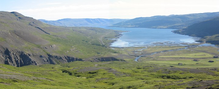
Project Scope:
Modelling tidal flow around proposed bridge structures in Þorskafjörður, Gufufjörður and Djúpafjörður fjords in order to predict changes in tidal flow patterns.
Client: Hönnun
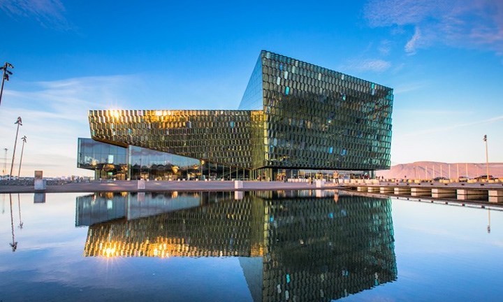
Project Scope:
Predicting traffic pollution from the proposed road construction around the Harpa Concert Hall and Conference Centre in Reykjavík.
Client: Landsvirkjun
Project Scope:
Simulation of dust entrainment from the dry banks of Hálslón reservoir and transport of dust with wind.
Client: Reykjavík Energy
Project Scope:
Utilization of existing groundwater model of Greater Reykjavík Area to predict the environmental effects of shallow sub-surface injection of geothermal wastewater from the Nesjavellir Power Plant on the local groundwater aquifer.
Client: Britvic Soft Drinks Ltd.
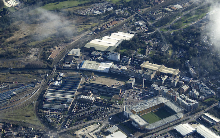
Project Scope:
Air dispersion modelling for a proposed new stack for the main boiler at the Carrow Works industrial site. Modelling results formed the basis of a risk assessment study of NO2 concentration surrounding the site.
Client: Efla, Landsnet
Project Scope:
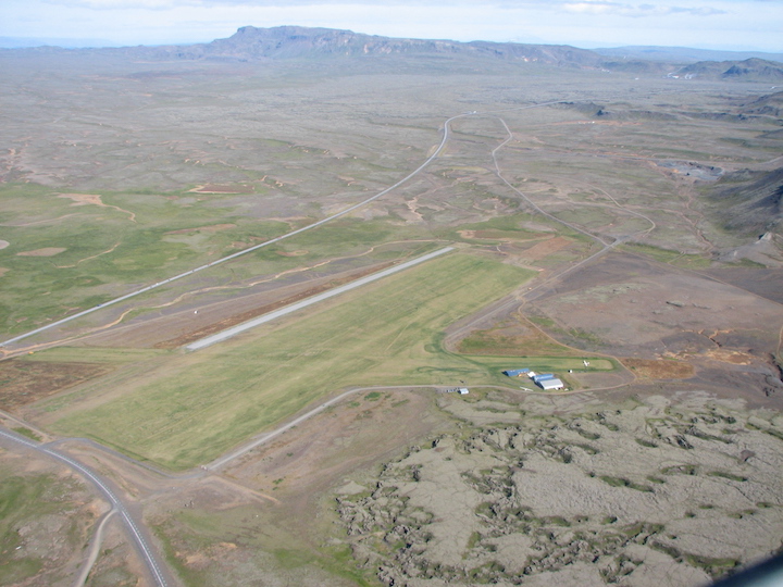
Utilization of existing groundwater model of Greater Reykjavík Area to predict the transport of hazardous materials in the groundwater aquifer from potential spill sites during construction of Sandskeiðslína transmission line. Modelling results formed the basis of a risk assessment study estimating potential risk to downstream municipal water supply wells.